Geoarchaeology

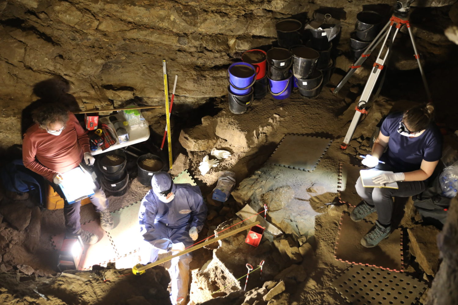
Geoarchaeologists utilize techniques and methods from the Earth Sciences and apply them to archaeological questions. These disciplines can range from geography, geology, geochemistry, and geophysics (among others) and in geoarchaeological work are focused on unraveling past landscape and environmental change, as well as identifying processes and interactions associated with past humans.

Though geoarchaeological work can be conducted anywhere in the world, certain places and their corresponding environments present unique challenges to understanding their environmental pasts. Some regions are difficult to access, others have yet to have their archaeological remains explored, and yet others are ill-equipped for the preservation of certain types of materials and their associated knowledge.

#Disperscapes is dedicated to utilizing both well-developed and emerging techniques, as well as specialist data such as aDNA, OSL, and isotopic analysis, to create a unique, interdisciplinary method for analyzing sediments from Southeast Asia, Australia, and the near-lying islands. Such an integrated method will provide us with the opportunity not only to further explore periods of human occupation and non-occupation, and their associated indicators, but also to expand our understanding of site formation processes and diagenesis in tropical, and subtropical sediments to better conceptualize site preservation.

A few of the methods utilized by #Disperscapes are explored further below and in their corresponding pages.

Landscape Survey

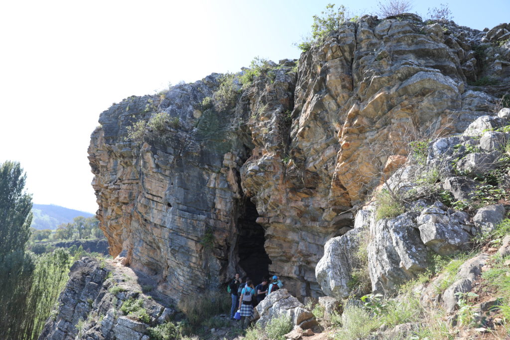
One of the most macro-scale techniques geoarchaeologists utilize is landscape survey. In surveying the landscape around a site, we seek to understand its geomorphological setting and context to better inform our research questions and subsequent conclusions about the site and its people. Click below to learn more about how geoarchaeologists use landscape survey!

2J2A4303 copy

Micromorphology

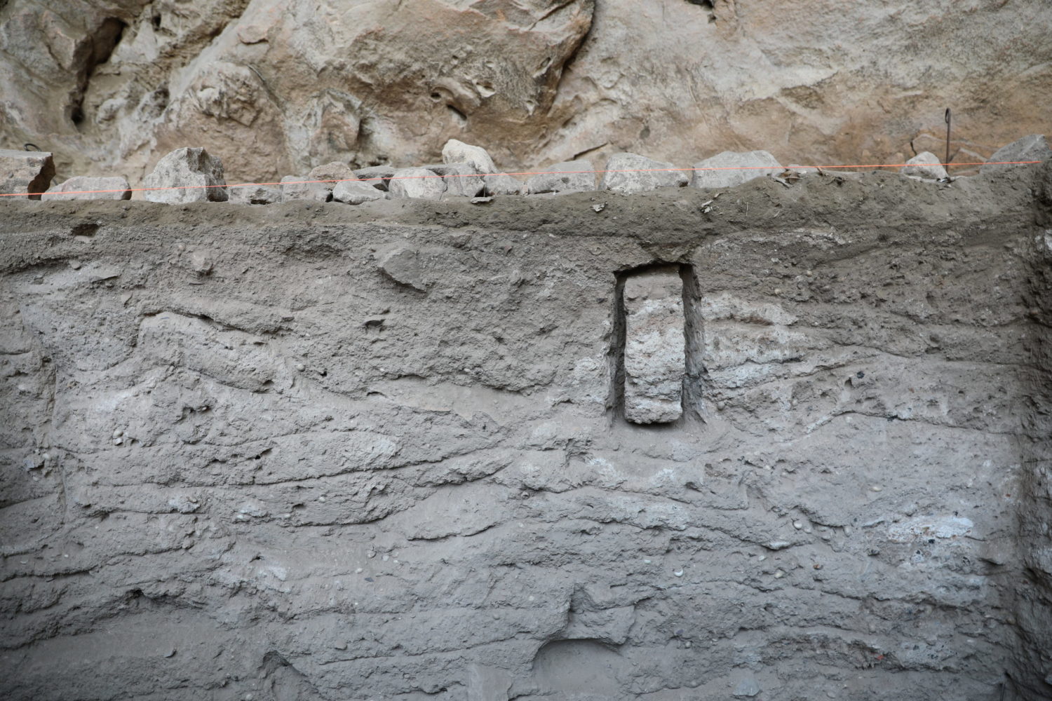
Micromorphology (also called microstratigraphy) is a much smaller-scale use of stratigraphic layers to understand formation and diagenic processes of a site. Built on the same laws of superposition and deposition of larger scale archaeological work, micromorphology uses in-tact blocks of sediment from a site to identify changes and alterations which cannot be seen by the naked eye. Click below to learn more about how micromorphology is used to inform our ideas of site processes and human occupation.

2J2A3903 copy

Isotopes

Isotopic analysis affords geoarchaeologists a finer resolution look into archaeological sediments and their formation than offered during traditional archaeological excavation. Using stable isotopes, n-alkanes, and leaf wax analysis we can uncover more information about past environments. Click below to learn how #Disperscapes is utilizing isotopic analysis to reconstruct past environments!

2J2A4295 copy

Sediment Fingerprinting

Sediment fingerprinting is the concept of utilizing quantifiable analyses to identify potential sources, formation processes, and diagenic factors which may have contributed to the sediments archaeologists interact with. This technique draws on mineralogical, chemical, and physical descriptions of the sediments found in and around archaeological sites and their catchment areas. Click below to find out how the #Disperscapes team is using sediment fingerprinting to understand past environments.

2J2A3933 copy